

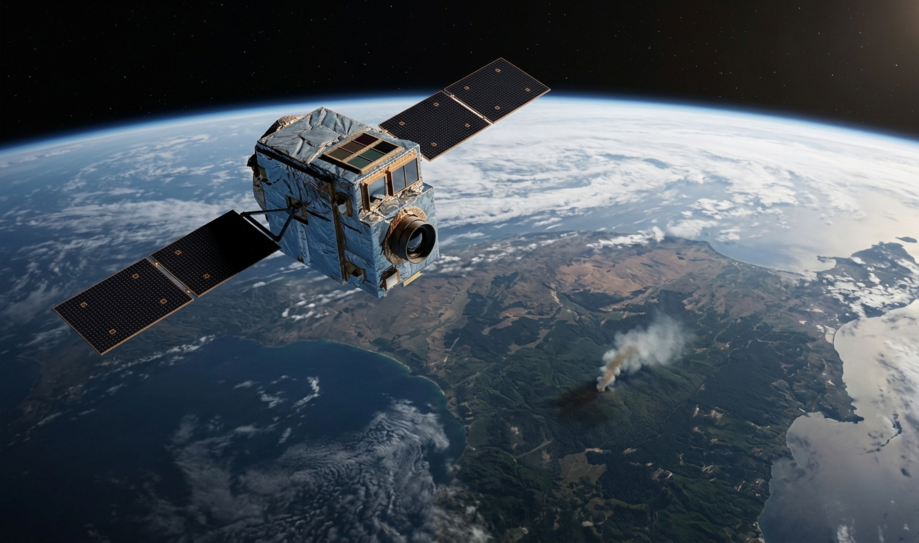
Three satellites built to do one job — spot wildfires while they’re still small — reached orbit on July 7, 2026, aboard a SpaceX Transporter-17 rideshare mission from Vandenberg Space Force Base in California. Within two hours of deployment, all three had made contact with ground operators and were reported healthy as they entered commissioning.
That launch marks the start of an operational phase for FireSat, a satellite constellation designed specifically to catch wildfires in their earliest, most containable moments. It’s a genuine milestone. It’s also the beginning of a long process, not the finish line: the full vision behind FireSat calls for 50 satellites and near-real-time global coverage, and right now there are three.
Here’s what actually launched, what it can do today, and how far the project still has to go.
Table of Contents
Why Early Wildfire Detection Matters
Wildfire behavior often comes down to a simple equation: a blaze caught within minutes can be contained before it spreads, while one that burns undetected for hours can become a disaster. That gap — between ignition and discovery — is where most of the damage gets decided.
Existing satellite tools already help track fires, but they weren’t built for this specific job. NASA’s Fire Information for Resource Management System (FIRMS), which relies on the MODIS and VIIRS instruments, remains free and widely used, but its VIIRS sensor has a spatial resolution of about 375 meters, and MODIS around 1 kilometer. That’s useful for tracking large, established fires, but it struggles to catch small ignitions early. FireSat’s designers set out to close that resolution gap specifically for wildfires.
Who’s Behind FireSat
FireSat is easy to misdescribe as a “Google project” or a single company’s product. The actual structure is more layered, and understanding it matters for judging the project’s incentives and staying power.
Earth Fire Alliance (EFA) is the nonprofit that owns and operates FireSat. It’s a California nonprofit public benefit corporation founded in 2024, built around the idea that globally accessible, high-fidelity wildfire data can change how the world responds to fire.
Muon Space, a space systems company founded in 2021, is the technical partner that designs, builds, and operates the actual satellites. It calls itself a “Mission Foundry” — it built FireSat’s Condor-M satellite platform and its multispectral sensor.
Google and Google Research contributed to the sensor design and lead the artificial intelligence work that turns raw satellite imagery into fire alerts. Christopher Van Arsdale, a researcher in Google Research’s Climate & Energy group, has been the project’s lead researcher on the AI side.
Rounding out the founding and funding partners are the Gordon and Betty Moore Foundation, the Environmental Defense Fund, and the Bezos Earth Fund — philanthropic organizations that have provided scientific input and financial support rather than operational control.
The project’s roots go back to 2021 and 2022, when Google and the Environmental Defense Fund ran early conceptual studies with Muon Space. That groundwork led to a $42 million Phase I contract between Muon Space and Earth Fire Alliance in 2024 to actually build the constellation. California Governor Gavin Newsom’s office has also publicized the July launch as part of a broader state wildfire-technology push, though the state is not an owner or operator of the system — EFA and Muon Space hold that role.
How FireSat’s Sensors and AI Work
Each FireSat satellite carries a six-channel multispectral electro-optical/infrared radiometer, built by Muon Space. It captures data across the visible, near-infrared, short-wave infrared, mid-wave infrared, and long-wave infrared bands — a spread wide enough to pick up both hot, fast-growing fires and cooler, smoldering ones that other systems might miss.
The raw infrared data has a resolution of about 80 meters per pixel, and each satellite images a swath of land roughly 930 miles wide on every pass. Sharper processing applied to that data is what allows the system to work toward its real goal: detecting fires as small as 5 meters by 5 meters — roughly the size of a classroom — once the full constellation is flying.
Detection alone isn’t the hard part; distinguishing a real ignition from a false alarm is. FireSat’s approach, led by Google Research, compares new images against a history of prior images of the same location, flagging changes that look like new fire activity. The system also cross-references real-time weather data and known industrial heat sources — like flares or hot rooftops — to filter out likely false positives.
That filtering is still a work in progress. In comments about the project, Van Arsdale has said fire agencies have asked for anything from every detected anomaly to a false-positive rate under 10%, while FireSat is currently aiming to keep false positives under 50% — a company-stated target, not yet an independently confirmed result. No peer-reviewed paper or detailed technical description of the underlying AI model’s architecture has been made public, so the exact machine learning approach behind the system remains undisclosed.
What’s Actually Operational Right Now
This is the part easiest to overstate. The often-repeated headline figure for FireSat — a wildfire detected anywhere on Earth within 20 minutes — is a target for the completed 50-satellite constellation, not a description of what exists today.
With three satellites, FireSat currently supports a twice-daily global revisit rate, meaning any given location gets imaged about twice a day, with more frequent looks over especially fire-prone regions. Earth Fire Alliance has said the three satellites will undergo a three-month commissioning and calibration period before they begin delivering operational data, with plans to start supplying that data to partner fire agencies by the end of 2026.
Reaching what the project calls “full operational capability” — an hourly revisit rate — will require around 20 satellites, a milestone the project is targeting for roughly 2029. The full 50-satellite constellation and its 20-minute revisit goal are targeted for around 2030. Specific launch dates for the remaining 47 satellites have not been publicly disclosed.
Muon Space and Earth Fire Alliance have also projected significant longer-term benefits once the constellation reaches its one-hour revisit milestone. In the United States alone, they estimate that level of coverage could save more than $1 billion annually in fire damage costs, protect 3,500 homes and properties, reduce burned land by 1.3 million acres, and prevent 21.9 million tons of carbon emissions each year. These figures are company-modeled projections tied to a future stage of deployment, not measured results from the system as it exists today.
The Evidence So Far
Almost everything known about FireSat’s real-world detection performance comes from a single satellite that isn’t even part of the new operational trio: FireSat Protoflight (also called FireSat0), a demonstration satellite that launched in March 2025.
Over its first year in orbit, Protoflight collected more than one million multispectral infrared images. Among its documented results, it detected a small roadside fire in Oregon that other satellite systems monitoring the same area had missed — the kind of small, early-stage catch the project is designed around.
The three new operational satellites, launched in July 2026, don’t yet have a comparable independent track record. All performance claims tied to them so far — including the false-positive rate targets — come from Muon Space, Earth Fire Alliance, or Google, rather than from outside verification. That’s not unusual for a system still in its commissioning phase, but it’s an important distinction for anyone assessing how well FireSat actually performs today.
FireSat vs. Other Wildfire Detection Systems
FireSat isn’t the only satellite-based approach to this problem, and it currently trails at least one competitor in raw satellite count.
| System | Approach | Scale (2026) | Notable Detail |
|---|---|---|---|
| FireSat | Purpose-built multispectral IR satellites + AI change detection | 3 satellites operational, 50 planned | Aiming for 5×5m fire detection at full scale |
| OroraTech | Thermal imaging satellite constellation | 14+ dedicated satellites, access to 35+ combined with public assets | Already operating at a larger satellite scale than FireSat |
| Pano AI | AI applied to mountaintop camera networks plus satellite imagery | Series B funded, $89 million raised total as of 2025 | Ground-camera-centric; sometimes deployed alongside satellite systems like OroraTech’s |
| NASA FIRMS (MODIS/VIIRS) | Free government satellite fire data | Long-running, global | VIIRS resolution ~375m, MODIS ~1km — far coarser than FireSat’s target |
None of these systems is a direct substitute for another. Ground camera networks like Pano AI’s offer continuous visual monitoring in specific regions, while satellite systems like FireSat and OroraTech aim for broader geographic coverage. In some deployments, fire agencies have paired ground cameras with satellite data specifically because the two approaches cover each other’s blind spots — suggesting the field is heading toward layered detection systems rather than a single winning technology.
FireSat Timeline
- 2021–2022: Google and the Environmental Defense Fund conduct early conceptual studies with Muon Space
- 2024: Earth Fire Alliance founded; Muon Space wins $42 million Phase I contract to build the constellation
- March 2025: FireSat Protoflight (demonstration satellite) launches
- July 2025: First wildfire images released from Protoflight, including a roadside fire in Oregon that other satellite systems missed
- July 2026: Three operational FireSat satellites launch aboard SpaceX Transporter-17
- Late 2026 (targeted): Commissioning complete; data delivery begins to Early Adopter fire agencies
- ~2029 (targeted): Around 20 satellites in orbit, hourly global revisit
- ~2030 (targeted): Full 50-satellite constellation, 20-minute global revisit
Limitations and Open Questions
FireSat’s ambitions are well documented; several important details about how well it currently performs are not.
- Coverage gap during ramp-up. Twice-daily revisit today is a long way from the 20-minute target that gets the most attention in coverage of the project.
- False positives remain above agency preferences. The current target — under 50% — is well above the sub-10% rate some fire agencies have asked for.
- No independent validation yet. Every performance figure tied to the new satellites currently comes from the organizations building and funding them.
- Funding relies heavily on philanthropy. Google, the Gordon and Betty Moore Foundation, the Environmental Defense Fund, and the Bezos Earth Fund have all provided support, but a confirmed long-term commercial revenue model for FireSat has not been publicly detailed.
- Technical details of the AI model remain undisclosed. No public paper describes the specific architecture used to classify fire anomalies from satellite imagery.
What Happens Next
The three FireSat satellites are expected to complete their three-month commissioning window in the fall of 2026, after which Earth Fire Alliance has said it plans to begin delivering data to its Early Adopter fire agencies — a group of agencies and scientists brought on to help refine how FireSat’s data gets used in the field. The stated goal is for that group to be receiving data at least twice daily by the end of 2026.
Beyond that, the project’s public roadmap points to roughly 20 satellites and hourly global revisit around 2029, and the full 50-satellite constellation with 20-minute revisit around 2030 — both stated goals rather than locked-in schedules.
Conclusion
What launched in July 2026 is a real, working step toward a more capable wildfire detection system — not the finished system itself. Three satellites are in orbit, healthy, and moving through commissioning, built on a sensor design that’s already shown it can catch fires other tools have missed. But the numbers most associated with FireSat — a fire the size of a classroom, spotted anywhere on Earth within 20 minutes — describe a constellation that’s still 47 satellites and several years away.
What to watch next: whether Earth Fire Alliance’s Early Adopter agencies start receiving usable data on the stated timeline, whether independent evaluations of the new satellites’ accuracy and false-positive rates emerge, and whether the project keeps pace with its own roadmap toward 20 satellites by the end of the decade.
Frequently Asked Questions
What is FireSat and who owns it? FireSat is a satellite constellation built specifically to detect wildfires early. It’s owned and operated by Earth Fire Alliance, a nonprofit founded in 2024. Muon Space designs, builds, and operates the satellites, while Google, the Gordon and Betty Moore Foundation, the Environmental Defense Fund, and the Bezos Earth Fund are founding and funding partners.
How does FireSat use AI to detect wildfires? FireSat’s AI, developed largely through Google Research, compares new infrared images against a history of prior images of the same location to flag likely new fire activity. It also checks real-time weather data and known industrial heat sources to help filter out false alarms.
How small a fire can FireSat actually detect right now? The 5-by-5-meter detection target — about the size of a classroom — is the design goal for the completed 50-satellite constellation, not a confirmed capability of the three satellites currently in orbit. Independent performance data for the new satellites is not yet available.
How is FireSat different from NASA’s existing fire-detection satellites? NASA’s FIRMS system, which draws on the MODIS and VIIRS instruments, is free and has a long operating history, but its resolution — about 375 meters for VIIRS and roughly 1 kilometer for MODIS — is far coarser than FireSat’s design target, making it less suited to catching very small, early-stage fires.
When will the full 50-satellite FireSat constellation be complete? Earth Fire Alliance and Muon Space have targeted roughly 20 satellites and hourly global revisit by around 2029, with the full 50-satellite constellation and 20-minute revisit targeted for around 2030. Specific launch dates for the remaining satellites haven’t been made public.
How does FireSat compare to companies like OroraTech and Pano AI? OroraTech already operates a larger satellite constellation than FireSat currently does — more than 14 dedicated thermal imaging satellites, with access to over 35 when combined with public assets. Pano AI takes a different approach centered on ground-based camera networks. None of Phase 2’s evidence supports calling any one of these systems the “best” — they represent different, sometimes complementary, approaches to the same problem.
Is FireSat data available to the public or only to fire agencies? Earth Fire Alliance has said it will deliver FireSat data to an initial cohort of “Early Adopter” fire agencies and scientists starting in 2026. Broader public data access plans have not been detailed in the available reporting.